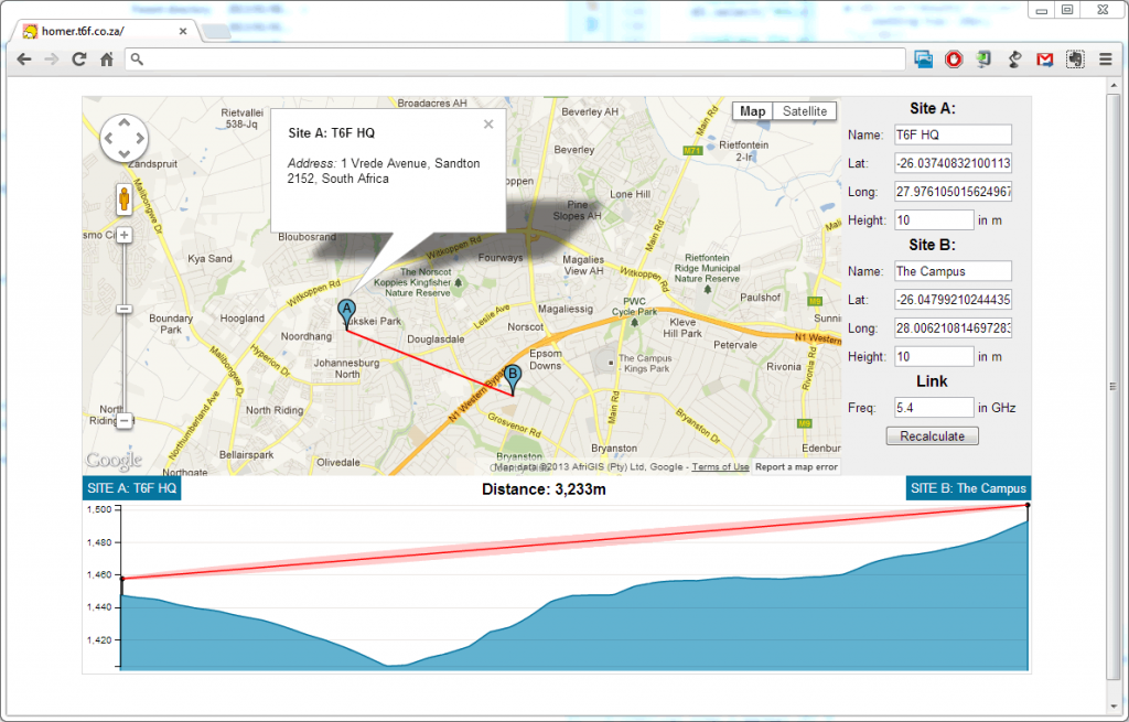
A colleague of mine at three6five recently asked if it would be possible to get elevation data for a path between 2 points using the Gooogle Elevation Service. Since we’re mostly Mac users, it is difficult to get useful path profile software to run that doesn’t require that you run Windows. After a quick look at the format the data is returned by the Google Maps API, I realised that it should be fairly straight forward to produce a graph of it in D3. That graph would effectively be a contour of the land for a line between 2 specific points.
Add a mast and Freznal Zone and you have working wireless path propagation plotter.


