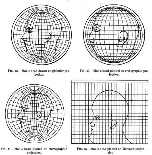
An image has been doing the rounds that shows the distortions introduced when reducing a 3D earth to a 2D representation. Like all those huge maps we used to have on our walls with pins in them to show where you’ve travelled. The drawings used in the original work show the distortions as applied to a human head, something we are familiar with.
The original book this came from can be found on archive.org here. If you feel inclined to read up about map projections, this is a great resource and is also where I got the images from that follow.
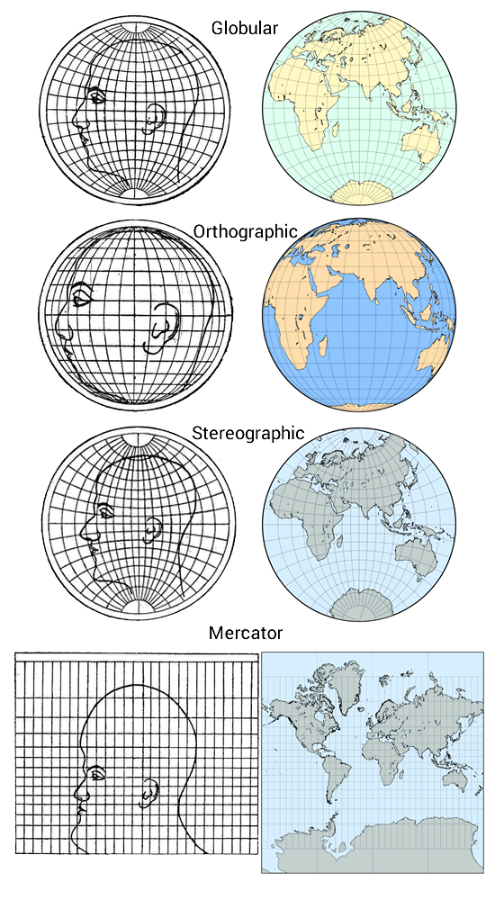
To put this in perspective, the image below shows the head and earth projections side by side to make it easier to compare.
Image sources:
https://archive.org/stream/cu31924003898271#page/n58/mode/1up
http://www.progonos.com/furuti/MapProj/Normal/TOC/cartTOC.html


