Posted in February 2018
Limn: ant graphs
I'm a reasonably avid user of Pocket. For the last few years I have been conferred with the dubious glory of being in their top 5% of "readers" for the year. It's another pile of things to read that I try to get to, but usually don't. However, when I'm travelling I load up the articles on my Kobo (a.k.a. the thrifty Kindle) and try to get through as much as I can on the plane before I lose the will to live and try to end it all with airline food.
In one of those moments I came across this: Local links run the world. What struck me was this image of how ant colony trails look and change over time.
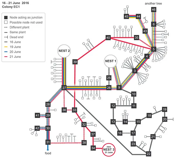
It looks a bit like a subway map and I think it conveys the concept quite well. As an interactive map it could show how the paths change over time.
The original ant trail article is in the University of Chicago Press journals, under DOI 10.1086/693418.